My colleague and friend, Pat Hohl, recently wrote a blog using the analogy of an aircraft cockpit to a GIS dashboard. It is a great piece of insight. Read his blog. I’ve never flown an airplane or been in an airplane’s cockpit. What I have done is performed in a rock band. Why not create a music analogy?
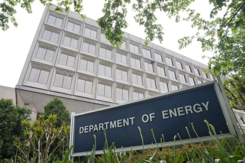
I was recently doing a study on the role of GIS in transmission. I’ve been reading what the Department of Energy is doing to foster transmission expansion to meet the significant challenges ahead. What the DOE is doing is music to my ears, and GIS needs to play a huge role. Imagine the U.S. Department of Energy (DOE) as a master conductor orchestrating a symphony of innovation, resilience, and transformation in the electric transmission sector. At the heart of this effort are key offices, each playing a specialized role to ensure the grid meets the evolving demands of a cleaner, more efficient energy future.
The Office of Electricity
The Office of Electricity takes the lead in modernizing the nation’s electric grid. Think of advanced tools for grid optimization, technologies to improve reliability, and strategies to safeguard against natural disasters and cyber threats. Their work goes beyond the technical—creating a blueprint for resilient, future-ready energy infrastructure.
The Office of Electricity is deploying strategies to enhance grid resilience against disasters and cyber threats. With GIS, the office could map vulnerabilities, model disaster impacts, and simulate recovery scenarios—all in real-time. Imagine layering live weather data, infrastructure conditions, and cyber threat alerts on a single map, giving decision-makers the power to act immediately. It could all rhyme perfectly, like the lyrics to a hit song.
Office of Energy Efficiency and Renewable Energy
The Office of Energy Efficiency and Renewable Energy is like the bridge in a song. You know, the bridge isn’t the verse or the chorus but part of the song that ties all the pieces together, using a different melody and harmonies. This office is the bridge builder, connecting renewable sources like solar and wind to the grid while maximizing energy efficiency and supporting innovations like microgrids and smart storage technologies. They’re on a mission to unlock the full potential of renewable energy in every corner of the nation.
GIS could provide the foundation, like a good rhythm section. It provides the places where all this new energy can develop. It connects solar fields, wind farms, and other renewable resources to the grid. GIS makes that vision possible by analyzing land use, identifying the best routes for transmission, and visualizing how new renewable assets will interact with existing infrastructure. It’s a way to align planning with environmental, economic, and community priorities. The beat goes on.
The Loan Programs Office
Then there’s the Loan Programs Office, the risk-taker and financier, offering loans and guarantees to bring bold, large-scale transmission projects to life. From upgrading aging infrastructure to connecting renewable energy hubs across borders, their work lowers financial barriers for transformative projects. GIS can provide the tools to evaluate project viability, assess risks, and visualize every dollar’s economic and environmental impact. The transparency and insight they need to fund projects will shape the financial barriers to transformative projects. The DOE allows the developers to sing from the same songbook.
Office of Clean Energy Demonstrations
Meanwhile, this office operates like a testing ground for the future. By piloting grid enhancing technologies (GETs) and other cutting-edge solutions, this office demonstrates what’s possible in long-distance energy transmission and low-carbon grids, working closely with communities to ensure the benefits are shared. The Office of Clean Energy Demonstrations could use GIS to model the impact of cutting-edge technologies like HVDC lines or modular nuclear energy systems. By visualizing pilot projects in their broader geographical and social context, GIS helps scale up innovation in practical and equitable ways. It allows these projects to work in perfect harmony with the environment and the community.
Music To My Ears
The DOE’s influence extends far beyond its offices. Funding mechanisms like the Infrastructure Investment and Jobs Act (IIJA) and the Inflation Reduction Act (IRA) empower the DOE to prioritize projects with the most impact, delivering critical grants and loans. Through regular webinars, strategy reports, and the invaluable data provided by the Energy Information Administration, the DOE provides the insights and resources to drive decision-making across the energy landscape.
Imagine the power of a single tool that could bring all the complexity of electric transmission planning into clear focus—where you can visualize, analyze, and act on the data that shapes our energy future. That tool is GIS. It provides the foundation to do it smarter, faster, and with better outcomes for everyone.
GIS is not just a tool; it’s a strategic partner. It enables seamless collaboration between agencies, stakeholders, and communities by presenting data in a way everyone can understand. It turns complex challenges into actionable insights. If the DOE is the master conductor of our energy future, GIS is the sheet music that can make it all come together. That sounds like the title of a hit song.
Learn how GIS is critical to the growth of the energy business.


