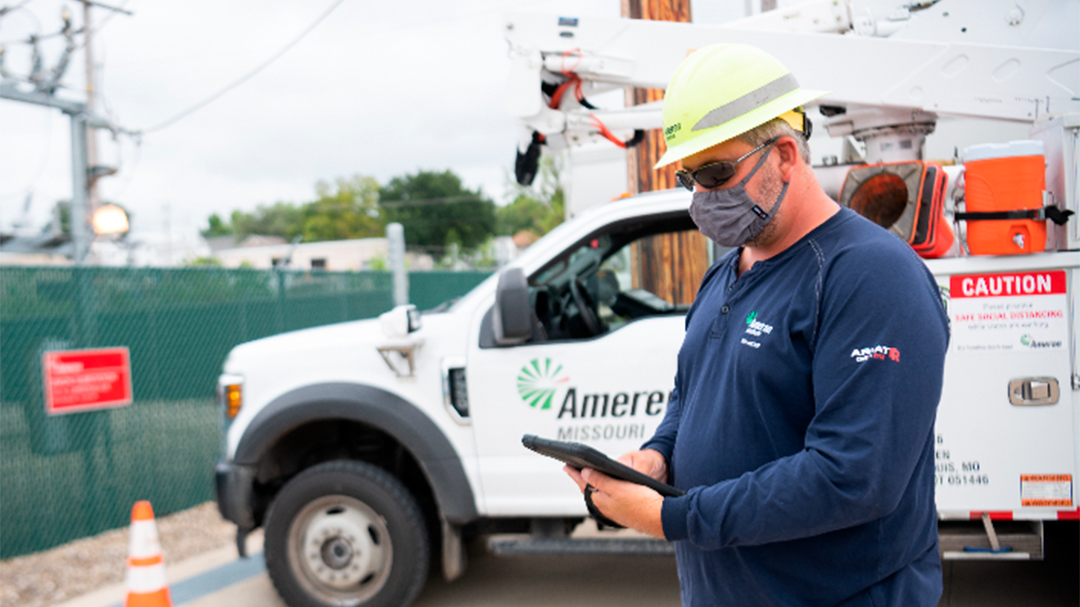
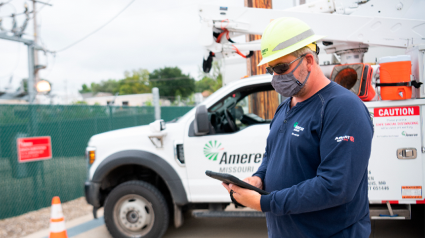
Ameren is an electric and gas utility headquartered in Saint Louis, Missouri. Employing more than 9,000 people, Ameren delivers services to 2.4 million electric customers and more than 900,000 natural gas customers across a 64,000-square-mile area in Missouri and Illinois. Providing accurate and timely geographic information system (GIS) asset data to field crews and integrating this with work management is a high priority for Ameren.
 Ameren field staff use mobile devices to find and complete tasks using the more intuitive map interface.
Challenge
Previous field mapping solutions either required users to be online or only delivered updated data on a quarterly basis, and the work management tool did not provide an integrated map. Ameren also required that updates be provided over cellular data connections, either on Windows or iOS devices. In addition, the same application would be used across several business lines within Ameren, including electric, gas, substation, and transmission teams. Some business lines also require a tool in the field that allows them to draw as-built or gas leak investigation data on top of a map displaying the relevant assets. Ameren has engaged in a multiyear project known as the Digital Field Experience to bring GIS and work management data to over 4,000 users in the field.
Partner
Ameren selected Epoch Solutions Group to provide the field-ready map viewing application that is a key component of Digital Field Experience. The EpochField service platform provides the solution Ameren needs. EpochField is a cross-platform, scalable, and configurable solution. Epoch Solutions Group is experienced in bringing improved efficiency across the enterprise with numerous utility partners.
Project Team—The team consisted of Ameren business and IT users and Epoch Solutions Group Client Services staff.
Solution
Ameren has been deploying EpochField in a phased approach to users over time, beginning with about 700 gas compliance users in late 2018. The substation team added about 700 technicians in 2020, and electric distribution users have phased in about 1,800 users from late 2019 through 2020, with implementation still ongoing.
EpochField is a mobile mapping solution built on Esri’s ArcGIS Runtime platform. Matching Ameren’s requirements, it runs on Windows 10 and iOS (and Android), provides the ability to download updated data remotely, and is fully functional offline or online. The map markup tool enables users to draw accurate field diagrams and sync these to the server. The EpochField Click Integration module was developed in conjunction with Click to provide two-way communication between EpochField and Click FSE, allowing users to find and complete tasks using the more intuitive map interface. EpochField user authentication is provided through the Esri GIS portal, which integrates with Windows Active Directory, giving users a seamless single sign-on experience.
 EpochField displays electric data to field users in both connected and disconnected states.
Results
Implementation of the mobile mapping solution has made everyday work more efficient and streamlined. Previous field mapping solutions only delivered data updates manually on a quarterly basis, but now users can automatically download daily updates.
Deployments proved especially challenging due to the pandemic, requiring distanced or online training sessions and special care to be taken with getting devices distributed safely. As the phased approach to EpochField implementation continues across the organization, fall 2021 will see the beginning of the final deployments, continuing into 2022 when the goal of more than 4,000 mobile workers having accurate and up-to-date asset information at their fingertips will be met.


